
A massive winter weather system is currently sweeping across the United States, triggering Winter Storm Warnings in 15 states as of Thursday, February 19, 2026. National Weather Service (NWS) officials are urging residents from the Sierra Nevada to the Northern Tier to take immediate action as a combination of heavy snow, freezing rain, and high winds creates life-threatening conditions.
What a Winter Storm Warning Means for You
According to the NWS, a Winter Storm Warning is issued when hazardous weather is either occurring or imminent. Unlike a “watch,” which suggests conditions are possible, a warning signifies a high certainty of dangerous conditions that require immediate precautions. Criteria typically include:
- Heavy snow accumulations of 6 inches or more within 12 hours (or 8+ inches in 24 hours).
- Significant accumulations of freezing rain or sleet.
- Dangerous combinations of wind and precipitation that reduce visibility.
Regional Impacts: From 8 Feet of Snow to Icy Plains
The current storm is exhibiting extreme behavior across different regions of the country:
The West and Rockies
California and the Pacific Northwest are bearing the brunt of a potent Pacific moisture plume. Forecasters warn that parts of the Sierra Nevada could see staggering snow totals of 4 to 8 feet. In Utah and Colorado, mountain ranges are bracing for up to 3 feet of fresh powder, accompanied by wind gusts reaching 65 mph. These conditions have already led to preemptive highway closures in areas surrounding Lake Tahoe and Yosemite.
The Northern Tier and Midwest
The storm is stretching over 1,000 miles, impacting states from Montana to Michigan. In Minnesota, the situation has escalated to Blizzard Warnings in St. Louis and Carlton Counties as blowing snow creates zero-visibility “whiteout” conditions. Michigan is currently divided into three distinct hazard zones: heavy snow in the north, a dangerous corridor of freezing rain in the central region, and heavy rain to the south.
The Northeast
New England is preparing for a “melting before more snow” scenario. While some areas are seeing temporary relief, a secondary system is expected to bring fresh accumulations by Friday, complicating ongoing cleanup efforts.
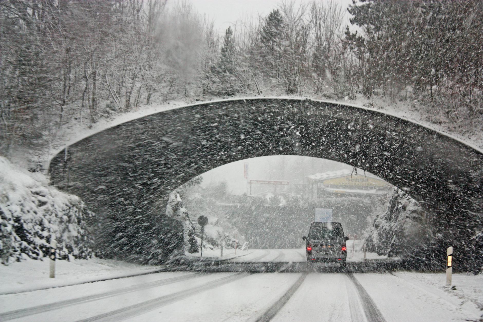
Safety and Travel Disruptions
Authorities are reporting major travel impacts across the country. In Wyoming, the Casper area entered a formal warning period Wednesday evening, with officials advising against any non-essential travel. Public safety experts highlight several critical risks during this window:
- Road Hazards: Unplowed side streets and ice layers forming beneath fresh snow.
- Infrastructure: Potential for widespread power outages due to heavy ice loading on power lines.
- Operational Changes: Many universities and government offices have transitioned to remote operations or delayed openings to keep commuters off the roads.
Residents in affected zones should maintain an emergency kit, ensure mobile devices are charged, and stay tuned to local weather updates as this sprawling system continues its eastward trek through the end of the week.