
As of Friday, February 20, 2026, a massive winter storm system is stretching over 1,000 miles across the United States, triggering a wave of Winter Storm Watches and Warnings from the Plains to New England. With significant snow accumulations and ice threats looming for the weekend, understanding the difference between these alerts is critical for public safety.
What Is a Winter Storm Watch?
A Winter Storm Watch is issued by the National Weather Service (NWS) when there is the potential for significant and hazardous winter weather within 48 hours. According to NWS criteria, a watch indicates at least a 50% chance that conditions—such as heavy snow, sleet, or ice—will meet warning thresholds. It serves as a “heads up” for residents to begin preparations before the weather deteriorates.
Watch vs. Warning: Key Differences
Understanding the severity of weather alerts can help you make informed decisions about travel and safety:
- Winter Storm Watch: Hazardous weather is possible. Issued 24 to 48 hours in advance. Now is the time to prepare your home and vehicle.
- Winter Storm Warning: Hazardous weather is occurring or imminent. This is issued when heavy snow (typically 6+ inches in 12 hours) or significant ice is expected to cause major impacts.
- Winter Weather Advisory: Issued for wintry weather that may cause inconveniences but does not meet warning criteria.
Latest Forecast: Mid-Atlantic and New England Under Threat
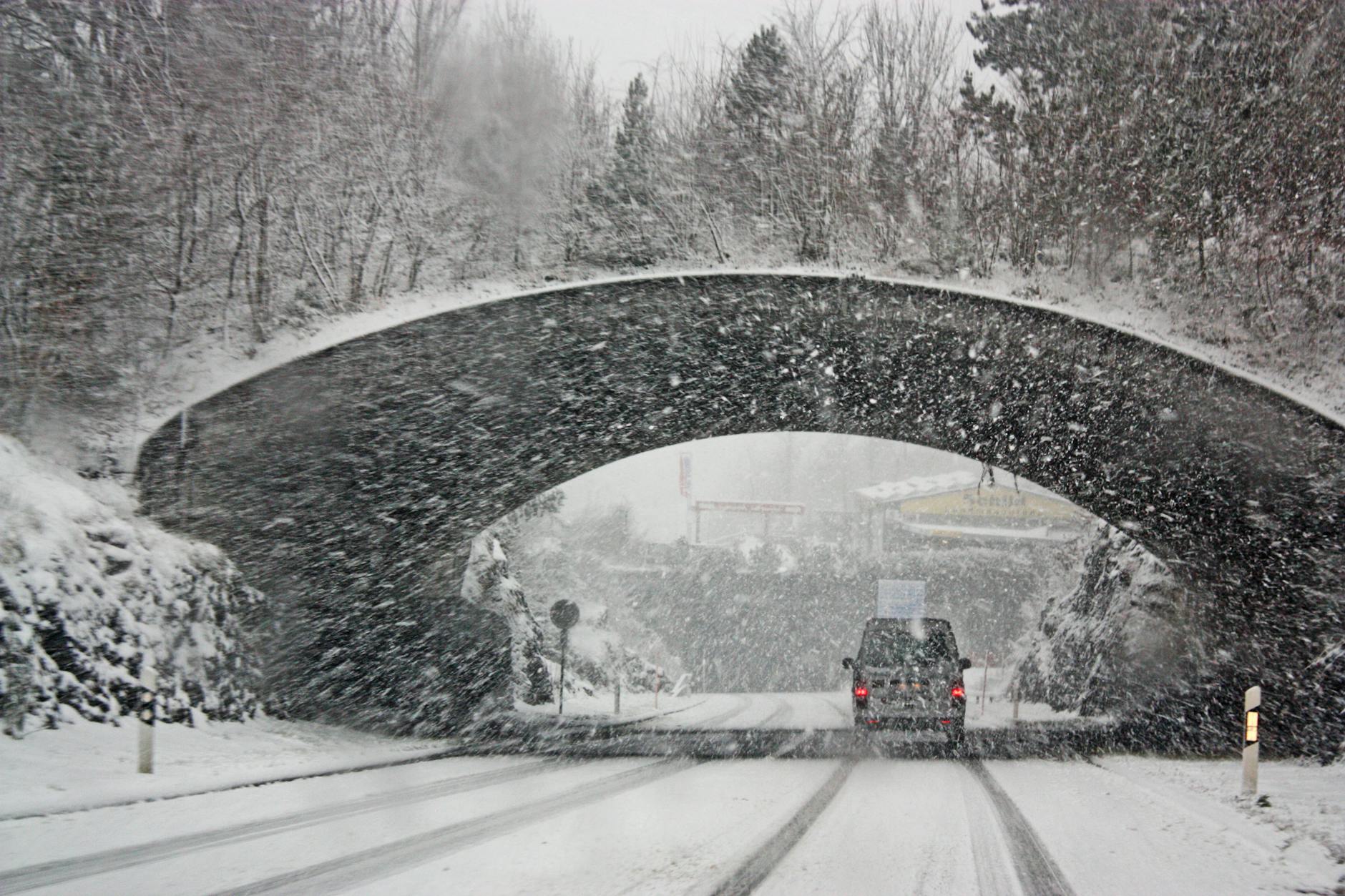
Current reports indicate that a complex storm system is moving through the Mid-Atlantic, including Washington D.C. and the Delmarva Peninsula, where several inches of snow are expected today. In New England, “plowable snow” and freezing rain are already impacting the Friday evening commute. Forecasters are also tracking a potential Nor’easter that could slam the East Coast this weekend, with New York City and New Jersey monitoring the coastal track for significant Sunday snowfall.
In the West, Northern California and Yosemite remain under watch as a separate system brings gusts up to 60 mph and heavy mountain snow, creating “major travel impacts” for the holiday weekend.
Safety and Preparation Tips
With multiple regions facing blizzard risks and icing, emergency officials recommend the following steps:
- Vehicle Readiness: Clear all snow and ice from your car before driving. Ensure your headlighting system is on and your wipers are in good working order.
- Emergency Kit: Pack a kit containing a flashlight (crank-type preferred), reflective safety triangles, a snow brush, and a first-aid kit.
- Home Maintenance: Insulate exposed pipes with foam or heat tape and use a roof rake to clear heavy snow buildup from gutters to prevent ice dams.
- Travel Decisions: Avoid driving during periods of freezing rain, sleet, or rapidly falling temperatures, which can create “black ice” on roadways.
Stay tuned to local weather updates and the FEMA app for real-time emergency alerts as this multi-day storm continues to evolve across the country.